Paper Maps: My Lost Love
My discovery of an Alabama paper map at a rest stop instantly provoked happy memories of wandering, exploring and getting wonderfully lost
I was driving solo from Baton Rouge to Pensacola — almost on autopilot, along a familiar route — when I spied the Alabama Visitor Center, which I knew would offer a clean bright ladies' room. Then, in gratitude for their hospitality, I decided to wander into the cavernous welcome area and see what was on offer.
A cheerful female voice drawled hello, asked where I'd come from and was going, then waved enthusiastically toward the sprawling area with its extensive array of stands, each rack stuffed with colorful brochures. The four-color advertisements created a broad, pointillist impression; hundreds of individual brochures, invitations to attractions of all kinds located in Alabama.
Perusing a map presented the same delight as wandering through library stacks — the opportunity for serendipitous discoveries.
I was poised to wade in when I suddenly spied a small, wooden box on her counter. It held three or four old-fashioned paper maps crammed into its small maw, the neatly folded, thick and printed kind, with a face-page reading: "Alabama official highway map."
Suddenly, like Proust responding to the Madeleine, I was warmed with happy nostalgia. I hadn't seen or used a paper map in years, not since the digital age swamped our lives. "May I have one?" I asked. She regarded me quizzically; clearly, these old-fashioned way-finders were not her hottest item but nodded yes. I left, clutching the folded paper like a treasure.
Although the National Geographic Society defines maps as "symbolic representations of selected characteristics of a place," a straightforward, visual presentation of somewhere, maps, for me, held a deeper meaning. Perusing a map presented the same delight as wandering through library stacks — the opportunity for serendipitous discoveries.
A Sense of Direction
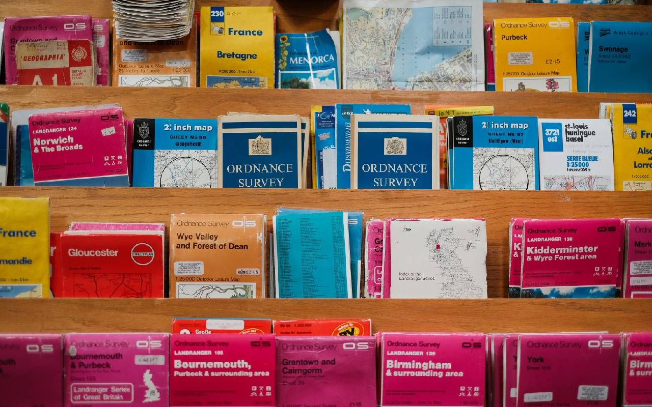
Before Google and Waze changed my life, I was a collector of maps that reflected places I lived, had visited or simply wanted for the delight of armchair travel — local, regional, national, international. Paper maps had helped me develop an excellent sense of direction for, as I studied them, I oriented myself to the geography of a new place; I got rather efficient at figuring how to walk, drive or take the metro in a place I hadn't been before.
I owned a few historical maps which I loved like charming visual documents that were akin to reading historical fiction because their geographies had become obsolete. But most of my maps were the practical, travel-useful kind, reflecting exploration near and far — cities I'd meandered, like Paris, Santiago, Tblisi, Istanbul — or driving trips in which we wended our way through the countryside of Tuscany or the back roads of Normandy. My maps were keepers of memories.
In planning any trip, I spread the map across the dining room table or the floor, to get the grand scope of a place.
Admittedly, paper maps had challenges. Because they were usually large and unwieldy, I'd need to create a messy fold of exactly where we were and wanted to go, whether walking or driving. But that scale was helpful. In planning any trip, I spread the map across the dining room table or the floor, to get the grand scope of a place. (I also discovered that two maps spread open across my dining room table created an entertaining tablecloth though I rarely did this, not wanting to risk spilling soup on a beloved, or anticipated, destination.)
Legends on paper maps were captivating with their specific symbols representing important information. Population of a metro area, for example, was characterized by the size of its printed name and its physical blob on the map.
Tangles of roadways crisscrossing the map created a Jackson Pollock-like effect, and various colors differentiated the road's importance, from large highways like Interstates to rural meanderers such as the narrow, winding roads of Louisiana parishes. Splotches and splashes of green represented parks and recreation areas; pale blue indicated water bodies — rivers, lakes and reservoirs. Here was an airport, signified by a tiny airplane; a circle with a star was the state capital.
I calculated distances between one place and another by spacing my fingers along the map's scale of inches to miles, then quickly transferred my poised fingers to the map. It was never as accurate as digital plotting, of course, but the approximation always served well enough.
Perhaps my smartphone's digital mapping app can offer many of the same details but it doesn't; moreover it gives no sense of a place, nor scope.
The legend of my new Alabama map was especially captivating, containing even more details than the standard menu I remembered. It designated scenic byways; offered blocks of print listing numbered attractions that corresponded with numbers imprinted on the map in their exact locations; the sites of community colleges; explanations of the meanings of Alabama road signs; and graphics of each species of fish that visiting anglers might catch in the Gulf of Mexico which laps Alabama's southern coast.
Perhaps my smartphone's digital mapping app can offer many of the same details but it doesn't; moreover it gives no sense of a place, nor scope. And when I minimize a digital map size to see a broader landscape, most of the details disappear. I do credit the app, however, for its ability to offer specific printed directions or, if I choose, a robo-voice directing me where to turn, in its tunnel-visioned precision, guiding me from here to there.
Actually, however, this idea of tunnel-visioned mapping isn't new. We used to order a trim rectangular booklet called a TripTik from AAA in which they had kindly plotted a direct course between where we started and our destination. It was mission specific and focused, a welcome aid when the family drove from Louisiana to Maine, delineating the fastest, most direct route. But I also remember that, as we headed north, we stuffed the glove compartment with a collection of paper maps to check nightly, to find detours beyond the TripTik for adding local attractions.
Lost to Recycling — For Now
My collection of maps consumed several drawers of a file cabinet and more maps were tucked inside my driver's side car door pocket. The maps in my car were the ones I consulted most frequently, either for wayfinding or while researching for articles I wrote about area history and culture. My car's map library held tattered paper for the city, state and nearby areas such as Mississippi and, yes, Alabama. I had used them all a lot.
My extensive map collection, I regret, went into the recycle bin when I downsized and I became as addicted as any other twenty-first century being to the omniscience and professionalism of digital mapping.
But my discovery of the Alabama map instantly provoked such happy memories of wandering, exploring and getting wonderfully lost with my paper map friends that I'm now seeking an empty drawer somewhere in the condo: it's where I will stash the Alabama map, and other new paper maps that I hope will join it.